Virginia pine
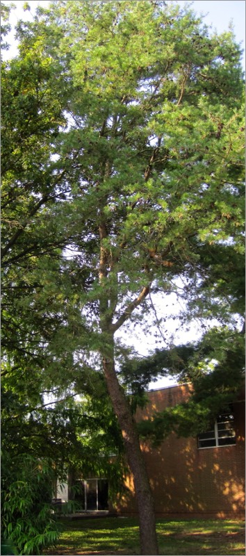
Pinus virginiana
VIRGINIA PINE
Pinaceae
E. North America
Location: map coordinates O-13 (near northeast corner of Baker Building), N 39°11'10'' W 75°32'43''
Planting history: probably planted by Dr. N. Dill, 1960’s-1970’s.
Description:
Native species, State Rank S5 (very common in Delaware)
VIRGINIA PINE
Pinaceae
E. North America
Location: map coordinates O-13 (near northeast corner of Baker Building), N 39°11'10'' W 75°32'43''
Planting history: probably planted by Dr. N. Dill, 1960’s-1970’s.
Description:
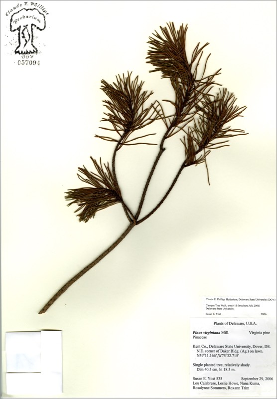
- small to medium-sized evergreen tree, conifer
- etymology: Pinus = the Latin name; virginiana = of Virginia
- also called scrub pine; often scraggly
- needles in 2’s; 1 ½”-3” long, often twisted
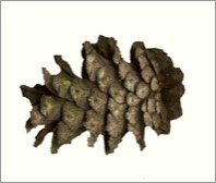
- cones 1 ½” -2 ½”, reddish brown, with sharp spine on each scale tip
- seeds eaten by squirrels and wild turkeys
- habitat: sunny; sandy, dry, poor soil; tree often small and stunted
- native range: mostly southern tree, north to New Jersey and southern New York (Long Island)
Native species, State Rank S5 (very common in Delaware)
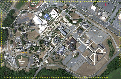
HIT REFRESH TO START LOCATION GRAPHIC