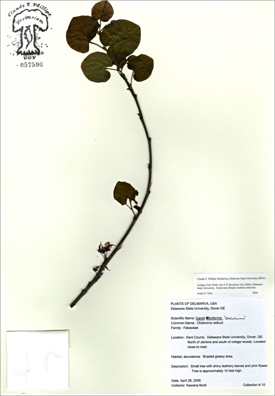
*Oklahoma redbud
*Cercis reniformis ‘Oklahoma’
OKLAHOMA REDBUD
Fabaceae
S.W. North America
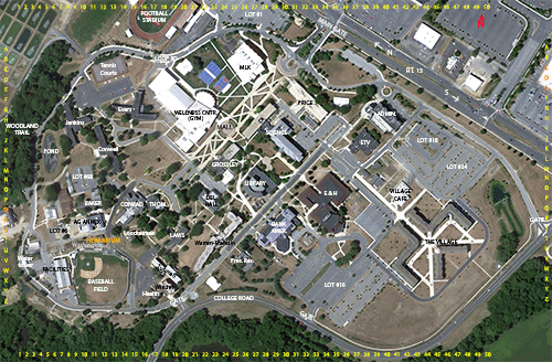
Location: map coordinates H-5 (on Loop Road, north of Woodland Trail entrance), N 39°11'15'' W 75°32'47''
Planting history: probably planted with new Loop Road ca 2000. Source: probably (Terrain at) Styers (nursery), PA.
Description:
*Non-native species (not native to Delaware)
OKLAHOMA REDBUD
Fabaceae
S.W. North America
Location: map coordinates H-5 (on Loop Road, north of Woodland Trail entrance), N 39°11'15'' W 75°32'47''
Planting history: probably planted with new Loop Road ca 2000. Source: probably (Terrain at) Styers (nursery), PA.
Description:
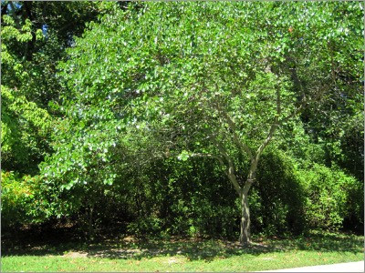
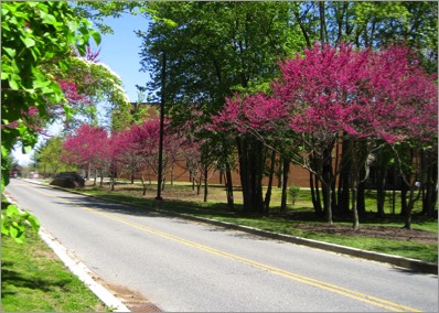
- small deciduous tree
- etymology: Cercis from Greek kerkis; reniformis for kidney-shaped (the leaf)
- leaves heart-shaped
- flowers deep pink, irregular; in small clusters all along the older branches; appearing before the leaves; very showy in spring
- fruit is a legume; thin, flat, several-seeded; purple (in pea/bean/legume family)
*Non-native species (not native to Delaware)
HIT REFRESH TO START LOCATION GRAPHIC