Redbud

Cercis canadensis
REDBUD
Fabaceae
E. North America
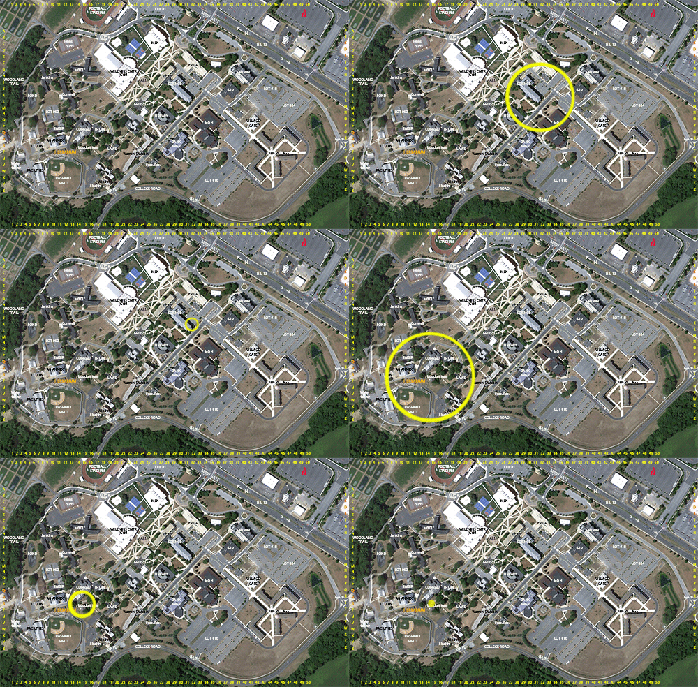
Location: map coordinates K-32 (near southeast corner of Mishoe Science Center), N 39°11'10'' W 75°32'26''; and
S-15 (north side of Loockerman Hall), N 39°11'7'' W 75°32'41''
Planting history:
K-32: Planting history presently unknown.
S-15: Variety ‘Heartbreaker’, weeping form. Planted 4/18/13, for Arbor Day, and DSU Tree Campus USA 2013 (3rd year of certification). Source: Ronny’s Garden World. Gift from Arbor Day Foundation.
Description:
Native species in Delaware, State Rank SH (historically known in Delaware, but not seen in >20 years)
REDBUD
Fabaceae
E. North America
Location: map coordinates K-32 (near southeast corner of Mishoe Science Center), N 39°11'10'' W 75°32'26''; and
S-15 (north side of Loockerman Hall), N 39°11'7'' W 75°32'41''
Planting history:
K-32: Planting history presently unknown.
S-15: Variety ‘Heartbreaker’, weeping form. Planted 4/18/13, for Arbor Day, and DSU Tree Campus USA 2013 (3rd year of certification). Source: Ronny’s Garden World. Gift from Arbor Day Foundation.
Description:
- large deciduous shrub, or small tree
- etymology: Cercis from Greek kerkis; canadensis = of Canada or northeastern North America
- also known as eastern redbud
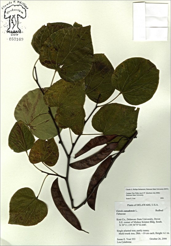
- leaves heart-shaped
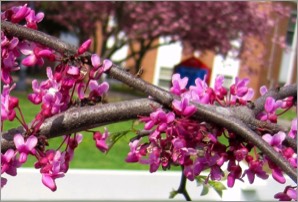
- flowers deep pink, irregular; in small clusters all along the older branches; appearing before the leaves; very showy in spring
- fruit is a legume; thin, flat, several-seeded (in pea/bean/legume family)
Native species in Delaware, State Rank SH (historically known in Delaware, but not seen in >20 years)


There are 2 labeled Eastern redbud trees.
HIT REFRESH TO START LOCATION GRAPHIC