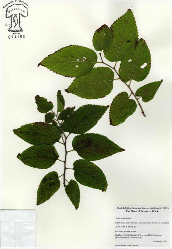
Celtis occidentalis
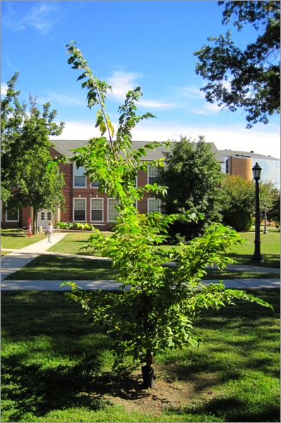
Celtis occidentalis
HACKBERRY
Ulmaceae
E. North America
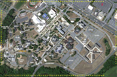
Location: map coordinates S-21 (northeast side of Laws Hall),
N 39°11'7'' W 75°32'36''
Planting history: planted 5/6/10. Source: Delaware Nature Society. (Dr. S. Yost, USDA NIFA Capacity Building Grant funds).
Description:
Native species, State Rank S5 (very common in Delaware)
HACKBERRY
Ulmaceae
E. North America
Location: map coordinates S-21 (northeast side of Laws Hall),
N 39°11'7'' W 75°32'36''
Planting history: planted 5/6/10. Source: Delaware Nature Society. (Dr. S. Yost, USDA NIFA Capacity Building Grant funds).
Description:
- small- to medium-sized deciduous tree
- etymology: Celtis from Greek name for tree; occidentalis for western
- leaves simple, toothed, long-pointed; leaf bases mostly uneven
- fruits dry, <1/2”
- drought-resistant; used for street plantings in Midwestern cities
- trees often have distinctive “witches’ brooms” (clusters of twiggy growth), possibly due to a fungus and a mite
Native species, State Rank S5 (very common in Delaware)
HIT REFRESH TO START LOCATION GRAPHIC