**Pinus strobus


**Pinus strobus
WHITE PINE
Pinaceae
E. North America
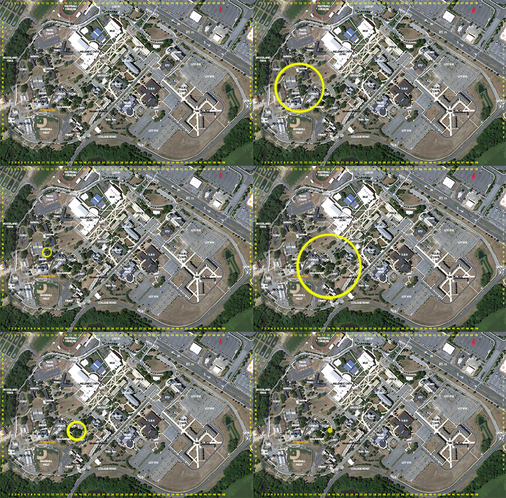
Location: map coordinates O-12 (northeast corner of Baker Building), N 39°11'10'' W 75°32'43'';
and R-18 (south of Thomasson Building), N 39°11'7'' W 75°32'38''
Planting history: O-12: probably planted by Dr. N. Dill, 1960’s-1970’s.
R-18: planting history presently unknown.
Description:
**Adventive species (not native to Delaware, but native to N. America and now growing wild in Delaware); escaping occasionally into woods
WHITE PINE
Pinaceae
E. North America
Location: map coordinates O-12 (northeast corner of Baker Building), N 39°11'10'' W 75°32'43'';
and R-18 (south of Thomasson Building), N 39°11'7'' W 75°32'38''
Planting history: O-12: probably planted by Dr. N. Dill, 1960’s-1970’s.
R-18: planting history presently unknown.
Description:
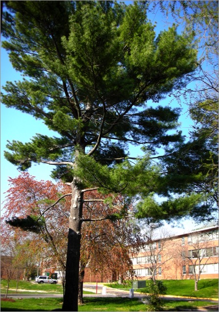
- large evergreen tree, conifer
- etymology: Pinus = the Latin name; strobus = Latin name of a gum-producing tree
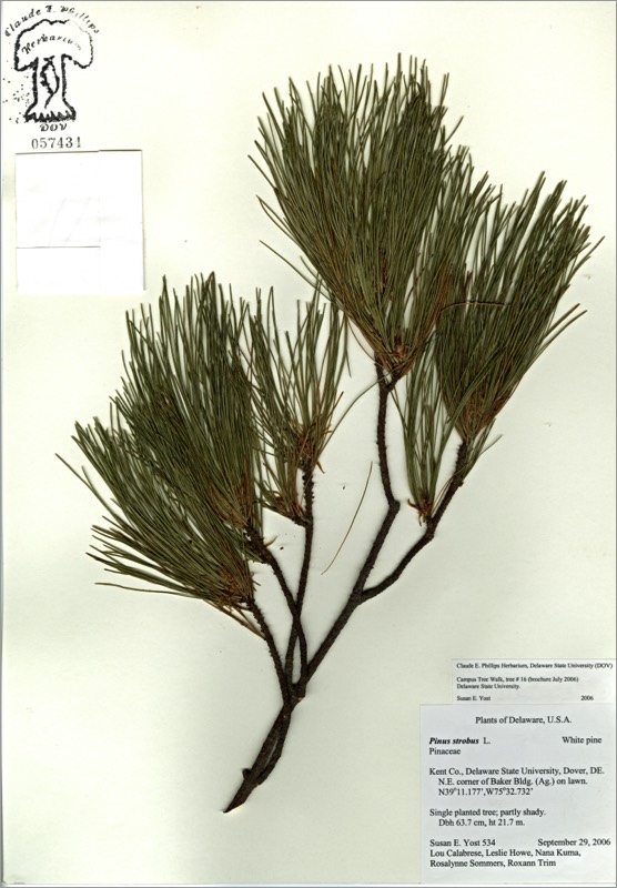
- needles in 5’s; the only 5-needled pine in the eastern U.S.
- cones 4”-8” long
- branches large, in whorls
- tall tree, straight trunk; largest of eastern conifers, ca 80’-100’ tall. Reported to formerly reach 200’ tall, but large trees extensively lumbered; in colonial times, large trees were marked with “R” (“Royal”), reserved for King of England’s ship masts
- inner bark formerly eaten as candy
- susceptible to white pine blister rust; mortality of white pine much reduced by removal of alternate hosts currant and gooseberry
- habitat uplands
**Adventive species (not native to Delaware, but native to N. America and now growing wild in Delaware); escaping occasionally into woods


There are 2 labeled white pine trees.
HIT REFRESH TO START LOCATION GRAPHIC